
Hydrographic & Geophysical Survey
What We Bring
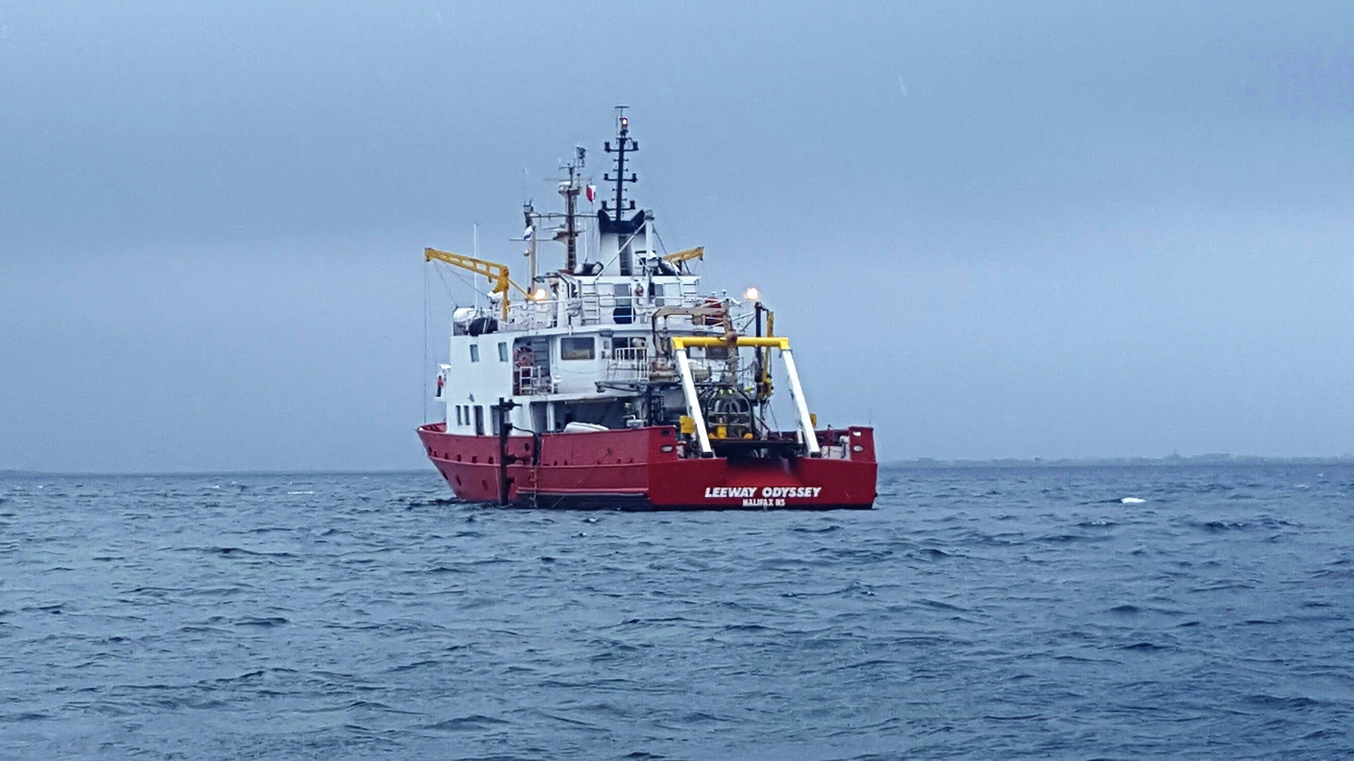
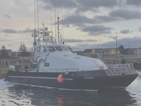
Leeway Marine brings extensive expertise in supporting Hydrographic and Geophysical Survey operations. Our team has delivered successful projects for local organizations and major multinational clients, completing surveys from the South to the Arctic. This work includes specialized experience in cable-route assessments and seismic surveying.
Our modular design philosophy allows for highly flexible equipment layouts and deployment configurations. We engineer and implement solutions that enable survey teams to rapidly integrate their preferred equipment aboard our vessels, ensuring streamlined setup and optimized performance in the field.
Our Experience
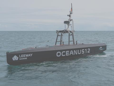
We also have comprehensive experience supporting a wide range of hydrographic and geophysical survey systems, including CPT for evaluating seafloor soil conditions, gravity and vibra-coring for deeper sediment sampling, and multibeam and side-scan sonar for detailed seabed mapping and imaging with hull-mounted, pole-mounted, and towed options. Our vessels accommodate USBL acoustic positioning for precise subsea equipment tracking, alongside grab sampling for surface sediment analysis. This capability enables efficient system integration and reliable data acquisition across diverse marine environments.